World History & Geography
World History
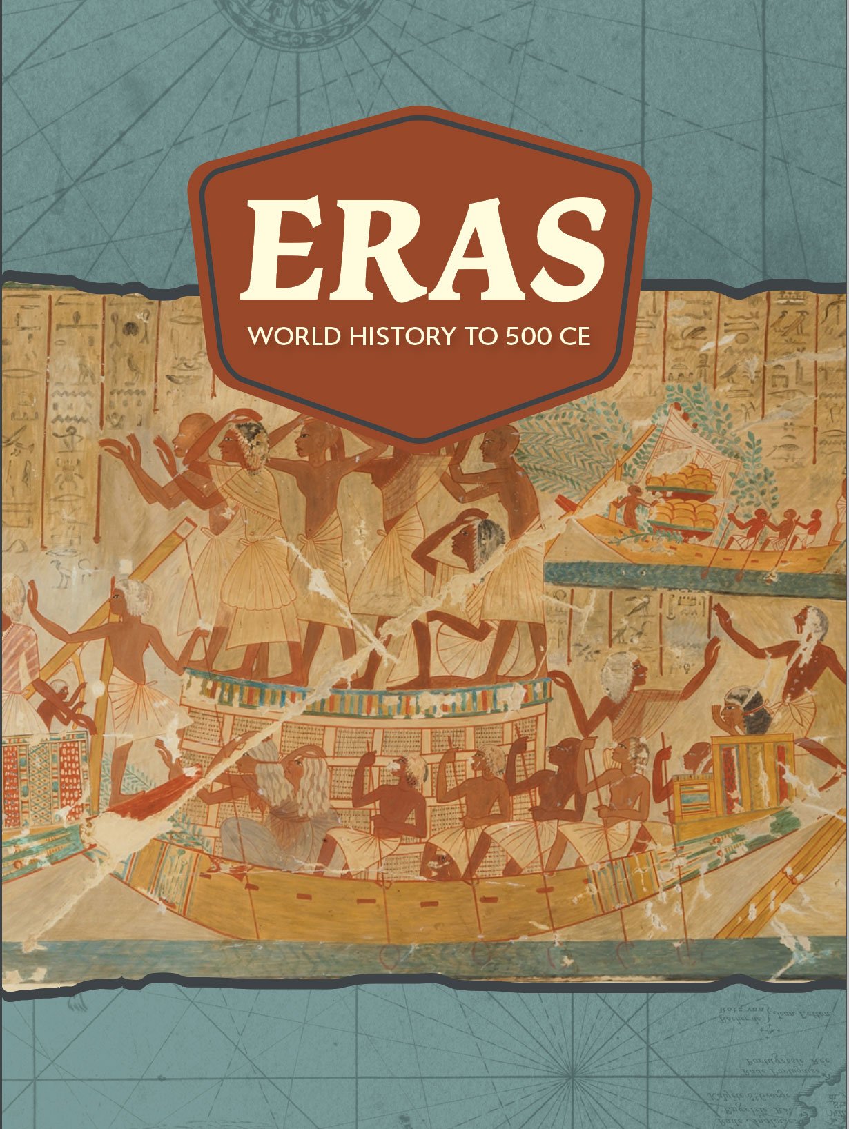
Eras: World History to 500 CE
Eras: World History to 500 CE offers readers a captivating journey around the world, transporting them from the beginnings of humanity and ancient civilizations all the way to the rise of early empires in India and China. Color maps, charts, photos, and illustrations encourage students to explore world history from various viewpoints and a diverse range of sources.
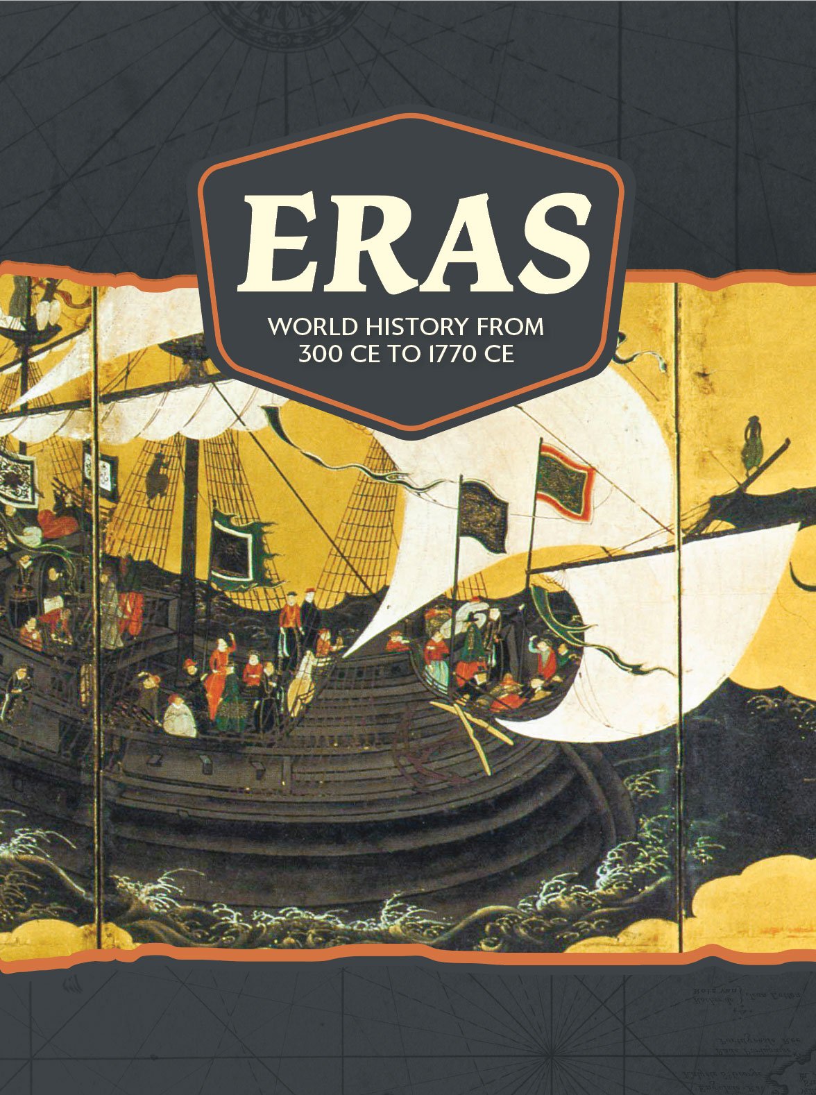
Eras: World History from 300 CE to 1770 CE
Eras: World History from 300 CE to 1770 CE takes readers on a fascinating journey through human history, spanning the early empires to the Age of Exploration. Color maps, charts, photos, and illustrations assist students in their exploration of world history using a diverse range of sources.
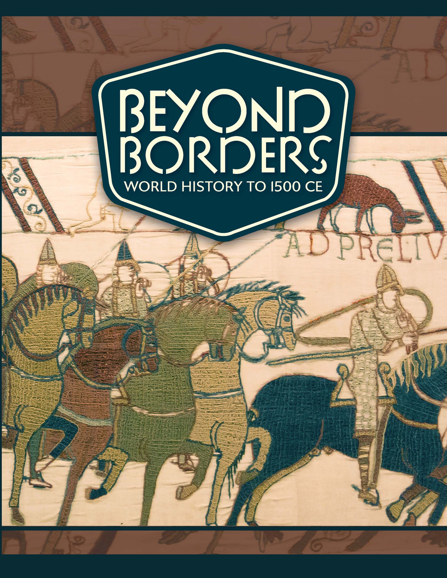
Beyond Borders: World History to 1500 CE
Offers readers a captivating journey around the world, transporting them from the beginnings of humanity and ancient civilizations all the way to the exciting Age of Exploration.
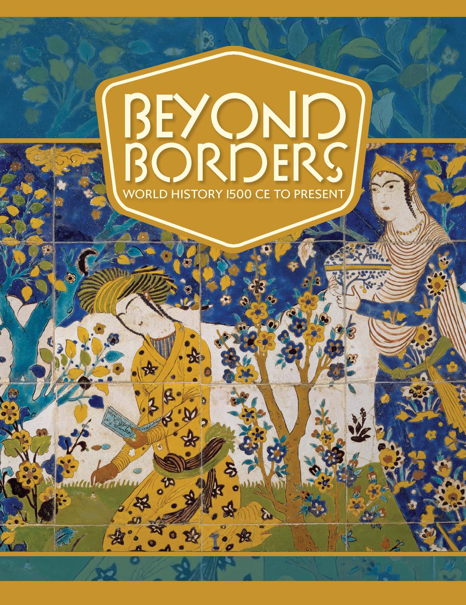
Beyond Borders: World History 1500 CE to Present
Takes readers on a fascinating journey through the entire spectrum of human history, spanning the Age of Exploration to the Space Age. With its abundance of color maps, charts, photos, and illustrations, this essential resource encourages students to explore world history from various viewpoints and a diverse range of sources.
World Geography
Passages and Pathways, World Geography: Part 1
Each unit is designed to engage students in critical thinking and analysis of the dynamic relationship between humans and the land, exploring connections, divisions, and movement around the globe. Our curriculum spirals social studies skills and scaffolds literacy development, including location-specific and thematically-based Case Study features for students to explore human interaction with the environment and interpret the world around them.
Passages and Pathways, World Geography: Part 2
Each unit is designed to engage students in critical thinking and analysis of the dynamic relationship between humans and the land, exploring connections, divisions, and movement around the globe. Our curriculum spirals social studies skills and scaffolds literacy development, including location-specific and thematically-based Case Study features for students to explore human interaction with the environment and interpret the world around them.
Bridges and Boundaries: World Geography
Bridges and Boundaries: World Geography provides a dynamic introduction to the interdependence of spatial thinking and global understanding in an integrated discussion of geography. Each unit is designed to engage students in critical thinking and analysis of the relationship between humans and the land.
Inquiry Arc, Timelines, and Visual Literacy
Each chapter provides an inquiry-based approach that focuses student learning through a “Big” or “Essential” question. The question is drawn from state-specific standards or standards from the C3 Framework for Social Studies and is supported by Key Ideas, Learning Goals, and Key Terms in each chapter. Activities throughout the text and curriculum are scaffolded and designed to build upon each other and to gain skills, as well as content knowledge. Each chapter opening spread also includes a timeline relevant to the content to be covered and a primary or secondary source image with an accompanying caption to engage students.
Engaging Textbook Design
Every page of the text is designed to engage readers, featuring a variety of maps, images, graphs, charts, primary, and secondary sources that are grade-level appropriate. Many of the features found in the text provide opportunities to examine multiple perspectives for analysis and evaluation throughout, including the ability to express, clarify, justify, interpret, and represent their ideas and to respond to peer and teacher feedback orally and/or in written form. Students frequently engage meaningfully with complex texts and are able to see themselves in the content. Captions included with the visual features in the text include open-ended questions for students to consider, discuss, and debate. Maps, graphics, and sources throughout each chapter support an inquiry arc.
Formative Assessments
After each lesson, students can check their understanding of the content and concepts they have studied. The assessment includes basic recall questions as well as critical thinking questions that are scaffolded to the Chapter Assessments. These checks for understanding allow for students to display a range of depth of knowledge and also include a self-assessment for students to reflect on their own learning and performance.
Social Studies Skills Activities
These activities emphasize the skills historians use to understand and interpret history. Students employ historical-thinking skills to build understanding as well as make connections with historical concepts. They also have the opportunity to use skills like analysis, compare and contrast, contextualization, cause and effect, periodization, forming fact-based opinions, research, defending a position, and accurate chronicling historical events.
Academic and Domain-Specific Vocabulary
The Key Terms within each lesson strengthen understanding of the grade-level content and vocabulary, often include activities to increase comprehension and retention, and feature many terms that can be used by students in other contexts.
Primary Source Analysis
Each chapter includes at least one primary source activity. Questions are scaffolded, allowing students to build confidence and skill as they explore, examine, evaluate, and interpret primary and secondary sources to understand historical concepts and make connections to the world around them.
Ready to start a trial?
Let's talk!
Experience world geography or world history free for 14 days on our digital platform, GSEonline.
For a personalized pricing solution, request a custom quote.
Any Questions? Let's Chat!
Don't hesitate to schedule a time to chat about our resources and all of their features. We can talk through your needs, budget, and how we can best benefit you and your district.
